#Mapping

2026-02-09

Happening this Friday! 🗓️

Make sure to reserve your spot 👇
eventbrite.com/e/validation-tr

🌐 Open to intermediate and experienced mappers

Become a UN Mapper! 💙

#UNMaps #UNMappers #openmapping #mapping #OpenStreetMap #mappingforpeace #volunteering #UNvolunteering #GIS #opendata

2026-02-09

Lol GIS disqualifies me on this Redfin thing. 🤣 #gis #mapping #geolocation #redfin

Legal language which disqualifies people who work on GIS/cartogarphy
2026-02-08

Korea Times: Google submits additional documents to Seoul on map data transfer. “Google has submitted additional documents requested by the Korean government regarding the overseas transfer of Korea’s high-precision map data, industry sources and government officials said Friday.”

https://rbfirehose.com/2026/02/08/korea-times-google-submits-additional-documents-to-seoul-on-map-data-transfer/
2026-02-08

Cornell Chronicle: Maps offer neighborhood-level insight into American migration. “California’s most devastating wildfire – the 2018 Camp Fire, which killed 85 and destroyed nearly 19,000 structures – forced nearly half of all residents living within designated fire perimeters to relocate within a year. That local exodus is documented by Cornell-led research that mapped annual moves […]

https://rbfirehose.com/2026/02/08/cornell-chronicle-maps-offer-neighborhood-level-insight-into-american-migration/
Pokaa, le média strasbourgeois des bons vivants bien informéspokaa.fr@web.brid.gy
2026-02-06

« Terra Alsatia » : un spectacle immersif va sublimer l’église Saint-Paul de Strasbourg !

fed.brid.gy/r/https://pokaa.fr

2026-02-06

Earth System Science Data: Building a dataset of offshore oil and gas extraction platforms from satellite data (2017–2023). “In this work, we use satellite data and the Google Earth Engine (GEE) platform to construct a new database of OOGPs for six major offshore oil and gas basins in the world between 2017 and 2023.”

https://rbfirehose.com/2026/02/06/earth-system-science-data-building-a-dataset-of-offshore-oil-and-gas-extraction-platforms-from-satellite-data-2017-2023/
2026-02-06
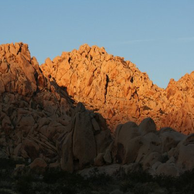
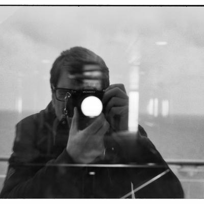
We are staying in Brussels and with the Olympus Trip 35.

In Brussels, and in the arts…
There was a street art project, #Mapping
in our capital in which I was involved.
And as always, I was carrying an analogue camera with me.
The photo was later even used on the website of our world-famous poster designer, Amira Daoudi.

It's a picture out of the #WTC towers in #BXL ( also gone now )

At the moment, I’m carrying the Olympus Trip 35 in my pockets again.
It’s a very pleasant little camera, and it had been quite a while since I last used it.
Usually I carry a half-frame camera with me, but during these dark grey days in Belgium I just don’t manage to fill those 72 frames quickly enough. This way, though, I get to dive back into my Trip 35 archive again!

#analog is timeless.
#filmphotography #ishootfilm #grainisgood #thisisbelgium #olympustrip35 #film #believeinfilm #trip35 #streetphotography #brussels #streetlife #art #park #pigeons #blackandwhite #film #kodaktx400 #actionphotography #AmiraDaoudi #wtc
The color photograph was taken with an analogue 35mm film camera, an Olympus Trip 35. We see a view from the former WTC towers, high above Brussels. The image is divided into two planes as we are looking through two windows. The left window is highly opaque, so white-grey with grime that it almost acts as a filter. Sitting on the windowsill in front of this window is a beautiful young woman with dark, curly hair, lost in thought. Her face and right arm catch some sunlight. Through the right window we see another apartment building, the outskirts of the city seen from above, and a blue sky with cheerful clouds. A man sits on the edge of the windowsill within the frame, looking down and outward.
2026-02-04

I’ve got some help polishing my slides for my presentation of my QGIS Sidewalk Priority Toolkit today at 2pm Eastern / 8 pm CET.

I will also cover conducting a Sidewalk Equity audit and the Walk Potential algorithm.

#mapping #QGIS #gis #urbanplanning #OpenStreetMap chaos.social/@mfdz/11600226876

Self with cat. Orion.
2026-02-04

Maps Mania: Introducing GeoCards – A Wiki Labeled Map. “GeoCards is a new interactive web map designed to turn geographic exploration into a lightweight discovery experience. Instead of simply viewing places on a map, GeoCards lets users instantly uncover Wikipedia knowledge about the world around them – whether that’s a major city, a small town, a local landmark, or even a road.”

https://rbfirehose.com/2026/02/04/maps-mania-introducing-geocards-a-wiki-labeled-map/

Client Info

Server: https://mastodon.social
Version: 2025.07
Repository: https://github.com/cyevgeniy/lmst