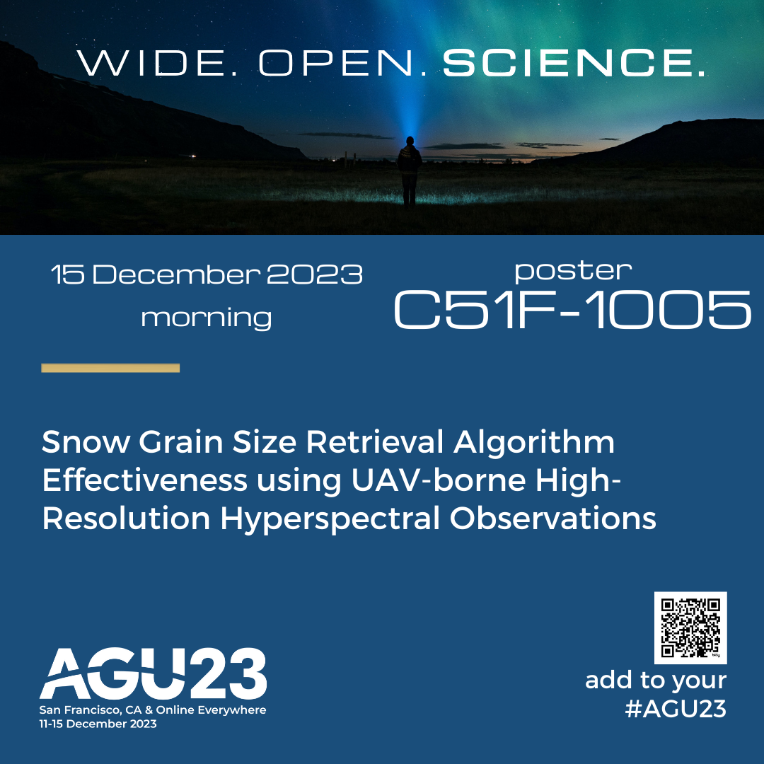
A poster from 2021 showing the approach I was leading in the Norwegian Nansen Legacy project - merging geophysical data collection (skied/walked surveys, point measurements) with small scale remote sensing (drone orthophotos). Connecting dots, painting in knowledge gaps.
...more in the alt text.
I'm open for consulting / permanent work on leading, teaching or doing similar things!
#ArcticFieldWork #researchLeadership #Geophysics #dronemapping #posterDesign #climate #snowscience #fedihireme