#30DayMapChallenge Day 4 - Hexagons
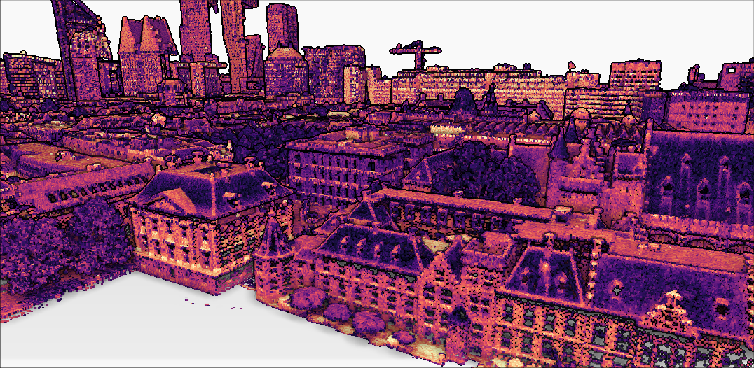
#LiDAR #pointcloud data is usually interpolated to raster DEMs. Today, I used hexagons instead! Hexagons are great for representing densities.
I've used #AHN4 point cloud #OpenData from GeoTiles (https://geotiles.citg.tudelft.nl/), created a 0.5 m hexagon layer and calculated mean elevation & point count per hexagon in #QGIS.